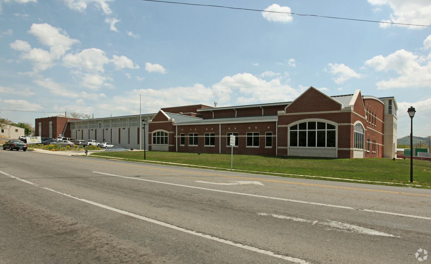
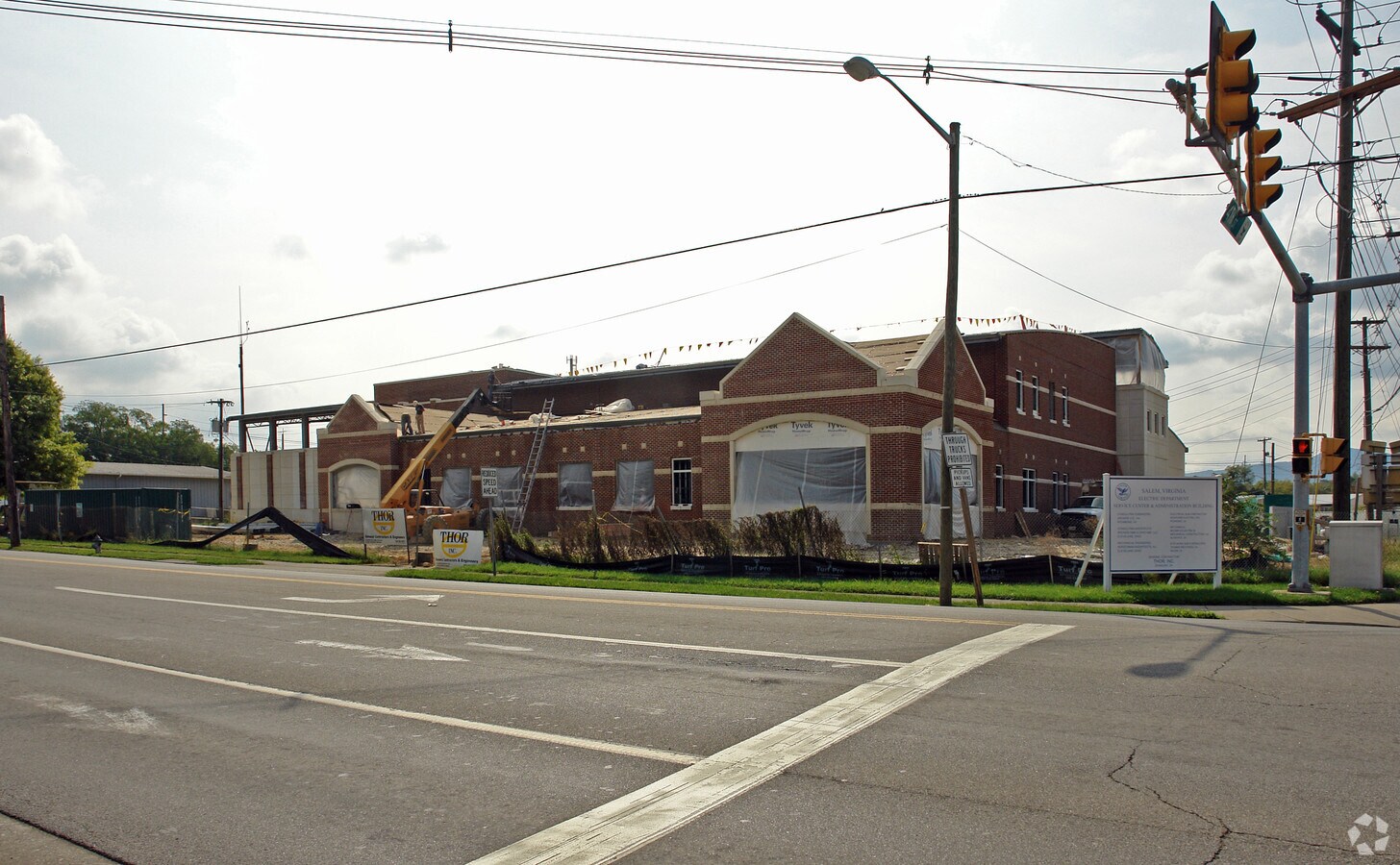
Property Record
730 W Main St, Salem, VA 24153
NEARBY LISTINGS FOR SALE OR LEASE
Property Detail
730 W Main St
124-9-1
900
Municipalproperty
W MAIN & 4TH STS WATER WORKS
X
Salem City
51161C0137G
Virginia
0
1.58 AC
2024
Southwest Roanoke
0103004008
Roanoke
55,360 SF
Roanoke, VA
DEMOGRAPHICS near 730 W Main St
1 Mile
3 Mile
5 Mile
2024 Total Population
6,738
33,470
74,006
2029 Population
6,915
34,099
74,052
Pop Growth 2024-2029
+ 2.63%
+ 1.88%
+ 0.06%
Average Age
42
42
42
2024 Total Households
2,711
13,412
30,480
HH Growth 2024-2029
+ 2.88%
+ 2.04%
+ 0.07%
Median Household Inc
$70,032
$72,510
$63,203
Avg Household Size
2.30
2.30
2.30
2024 Avg HH Vehicles
2.00
2.00
2.00
Median Home Value
$244,971
$250,996
$227,471
Median Year Built
1964
1971
1970
Nearby Places
- Restaurants
- Banks
- Shops
- Fitness
- Groceries
PUBLIC TRANSPORTATION
COMMUTER RAIL
Roanoke (Northeast Regional - Amtrak)
DRIVE
WALK
Distance
Roanoke (Northeast Regional - Amtrak)
19 min
7.9 mi
AIRPORT
Roanoke/Blacksburg Regional (Woodrum Field)
DRIVE
WALK
Distance
Roanoke/Blacksburg Regional (Woodrum Field)
20 min
8.0 mi
Freight Ports
Virginia Port Authority - Richmond
DRIVE
WALK
Distance
Virginia Port Authority - Richmond
223 min
194.7 mi
Nearby Properties
Address
Land Use
TOTAL SIZE
Lot Size
Zoning
Address
Land Use
TOTAL SIZE
Lot Size
Zoning
52.04 AC
CUDRSF
Address
Land Use
TOTAL SIZE
Lot Size
Zoning
254,638 SF
40.14 AC
RSF
Address
Land Use
TOTAL SIZE
Lot Size
Zoning
469,827 SF
15.99 AC
HBD
Address
Land Use
TOTAL SIZE
Lot Size
Zoning
69,111 SF
73.54 AC
HBD
Address
Land Use
TOTAL SIZE
Lot Size
Zoning
3.78 AC
CUD
Address
Land Use
TOTAL SIZE
Lot Size
Zoning
6.24 AC
RMF
Address
Land Use
TOTAL SIZE
Lot Size
Zoning
95,357 SF
10.25 AC
RSF
Address
Land Use
TOTAL SIZE
Lot Size
Zoning
9.51 AC
CUD
Address
Land Use
TOTAL SIZE
Lot Size
Zoning
138,887 SF
13.03 AC
HBD
Address
Land Use
TOTAL SIZE
Lot Size
Zoning
394,937 SF
25.15 AC
I2
Address
Land Use
TOTAL SIZE
Lot Size
Zoning
864,046 SF
56.04 AC
HM
Address
Land Use
TOTAL SIZE
Lot Size
Zoning
720,088 SF
40.32 AC
HM
Address
Land Use
TOTAL SIZE
Lot Size
Zoning
348,269 SF
22.87 AC
HM
Address
Land Use
TOTAL SIZE
Lot Size
Zoning
100 SF
60.09 AC
RSF
Address
Land Use
TOTAL SIZE
Lot Size
Zoning
4.12 AC
RMF
Address
Land Use
TOTAL SIZE
Lot Size
Zoning
11.27 AC
RMF
Address
Land Use
TOTAL SIZE
Lot Size
Zoning
2.13 AC
DBD
Address
Land Use
TOTAL SIZE
Lot Size
Zoning
70,651 SF
11.63 AC
HM
Address
Land Use
TOTAL SIZE
Lot Size
Zoning
178,638 SF
12.01 AC
HBD
Address
Land Use
TOTAL SIZE
Lot Size
Zoning
24.54 AC
LM
Address
Land Use
TOTAL SIZE
Lot Size
Zoning
98,592 SF
5 AC
HBD
Address
Land Use
TOTAL SIZE
Lot Size
Zoning
113,052 SF
0.52 AC
HBD
Address
Land Use
TOTAL SIZE
Lot Size
Zoning
63,191 SF
3.50 AC
HBD
Address
Land Use
TOTAL SIZE
Lot Size
Zoning
71,531 SF
1.77 AC
DBD
Address
Land Use
TOTAL SIZE
Lot Size
Zoning
88,087 SF
7.10 AC
HBD
Address
Land Use
TOTAL SIZE
Lot Size
Zoning
84,476 SF
9.69 AC
HBD
Address
Land Use
TOTAL SIZE
Lot Size
Zoning
15.46 AC
RMF
Address
Land Use
TOTAL SIZE
Lot Size
Zoning
88,712 SF
5 AC
LM
Address
Land Use
TOTAL SIZE
Lot Size
Zoning
67,834 SF
0.79 AC
DBD
The World's #1 Commercial Real Estate Marketplace
Connect with us
© 2025 CoStar Group
The information above has been obtained from sources believed reliable. While we do not doubt its accuracy we have not verified it and make no guarantee, warranty or representation about it. It is your responsibility to independently confirm its accuracy and completeness. Any projections, opinions, assumptions, or estimates used are for example only and do not represent the current or future performance of the property. The value of this transaction to you depends on tax and other factors which should be evaluated by your tax, financial, and legal advisors. You and your advisors should conduct a careful, independent investigation of the property to determine to your satisfaction the suitability of the property for your needs.